Sri Lanka Map
– Map Location on Sri Lanka Map
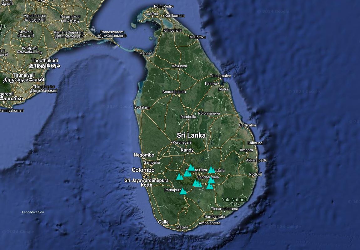
– Sri Lanka Locations of Attractions
– Itineraries & Tour Packages
– Private Car and Driver
The history of Sri Lanka’s map reflects its evolving political and cultural landscape. From ancient times, when it was known as Lanka or Ceylon, to the colonial period under the Portuguese, Dutch, and British, and finally to its independence in 1948, the island’s borders and administrative divisions have continuously transformed.
Map of Sri Lanka Locations
Sri Lanka Map Shape and Location:
Sri Lanka is an island nation in the Indian Ocean, located south of the Indian subcontinent. It is roughly shaped like a teardrop or a pear, and its geographical coordinates are approximately 7.5°N latitude and 80.0°E longitude.
Regions and Major Cities:
- Colombo:
- Location: Western coast of Sri Lanka.
- Significance: The commercial capital and largest city. It is the main port and a major economic hub.
- Kandy:
- Location: Central part of the island.
- Significance: Known for the Temple of the Tooth and its rich cultural heritage. It is situated in the hill country.
- Galle:
- Location: Southwestern coast.
- Significance: Famous for its Dutch colonial architecture and historic Galle Fort.
- Jaffna:
- Location: Northern tip of the island.
- Significance: Known for its Tamil culture and historical sites.
- Trincomalee:
- Location: Eastern coast.
- Significance: Home to a major natural harbor and several beautiful beaches.
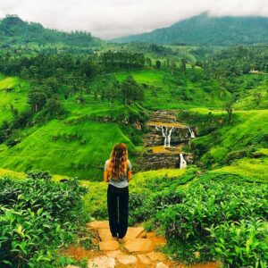
- Nuwara Eliya:
- Location: Central highlands.
- Significance: Renowned for its tea plantations and cool climate, often referred to as “Little England.”
- Ella:
- Location: Southern part of the central highlands.
- Significance: Popular for its scenic beauty, including Ella Rock and Little Adam’s Peak.
- Anuradhapura:
- Location: North-central Sri Lanka.
- Significance: An ancient city known for its well-preserved ruins and sacred Buddhist sites.
- Sigiriya:
- Location: Central Sri Lanka.
- Significance: Famous for the Sigiriya Rock Fortress, a UNESCO World Heritage Site.
- Dambulla:
- Location: Central Sri Lanka.
- Significance: Known for the Dambulla Cave Temple, a UNESCO World Heritage Site.
Landmarks and Natural Features:
- Adam’s Peak (Sri Pada): A sacred mountain located in the central part of the island, known for its religious significance and panoramic views.
- Yala National Park: Located in the southeastern part of the island, famous for its wildlife, including leopards and elephants.
- Horton Plains National Park: Situated in the central highlands, known for its biodiversity and scenic landscapes, including World’s End, a dramatic cliff.
- Minneriya National Park: Located in the north-central region, famous for “The Gathering,” where large herds of elephants congregate.
Borders and Surroundings:
- To the North: The Palk Strait separates Sri Lanka from the Indian state of Tamil Nadu.
- To the East: The island is bordered by the Bay of Bengal.
- To the South: The Indian Ocean surrounds the southern part of the island.
- To the West: The Arabian Sea is to the west of Sri Lanka.
This map provides a comprehensive view of Sri Lanka’s geographical layout, highlighting its major cities, landmarks, and natural features.
Sri Lanka Map Locations
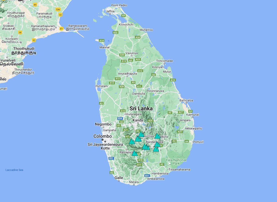
Sri Lanka Map of Waterfalls
A map of Sri Lanka’s waterfalls highlights key locations such as Diyaluma Falls, Bambarakanda Falls, and Ravana Falls. It guides visitors to these stunning natural attractions nestled in the island’s lush, mountainous regions.
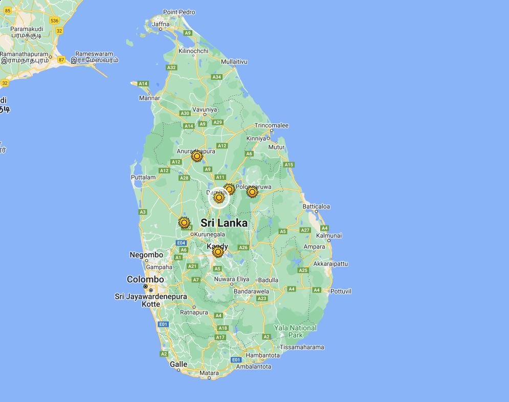
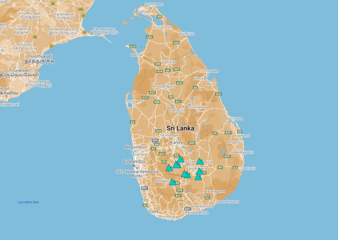
Sri Lanka Map of Ancient Cities
A map of Sri Lanka’s ancient cities features historical sites like Anuradhapura, Polonnaruwa, and Sigiriya. It helps visitors explore these culturally rich landmarks, showcasing ruins, stupas, and royal palaces from the island’s storied past.
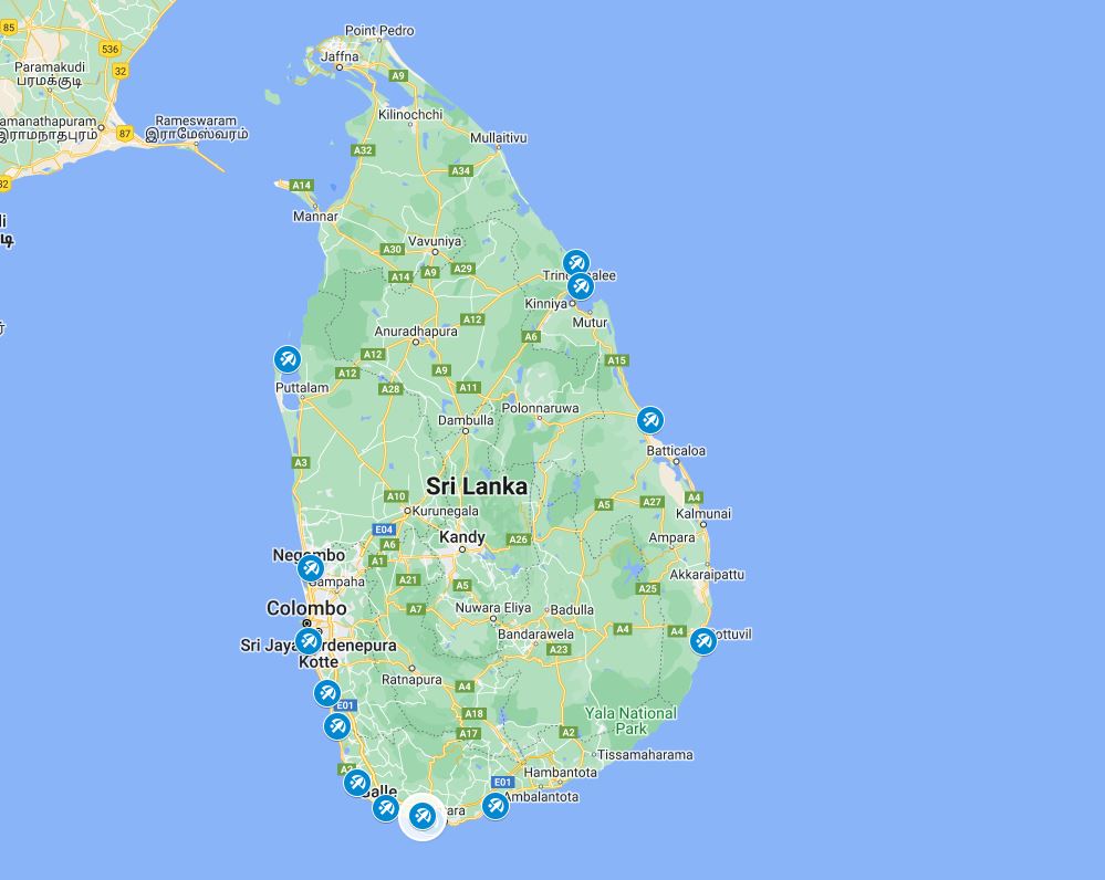
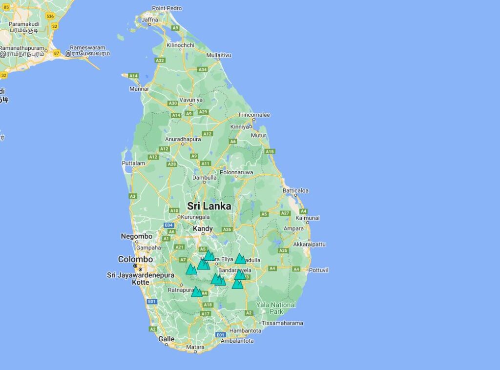
Sri Lanka Map of Beaches
A map of Sri Lanka’s beaches highlights top coastal destinations such as Unawatuna, Mirissa, and Bentota. It guides travelers to picturesque shores, offering stunning views, relaxing spots, and vibrant seaside activities across the island.
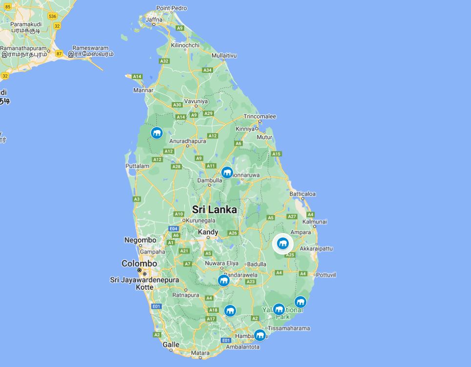
Sri Lanka Map of Wildlife Safari
A map of Sri Lanka’s wildlife safari locations features top national parks like Yala, Udawalawe, and Wilpattu. It helps guide travelers to prime spots for spotting elephants, leopards, and diverse bird species in their natural habitats.
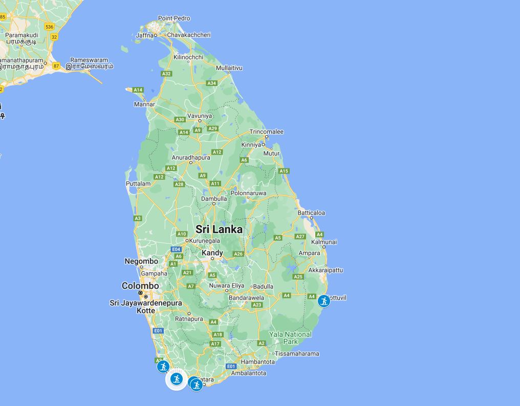
Sri Lanka Map of Surfing Spots
A map of Sri Lanka’s surfing spots highlights top locations like Arugam Bay, Hikkaduwa, and Mirissa. It guides surfers to the island’s best waves, offering prime conditions and vibrant beach communities for all skill levels.
Sri Lanka Itineraries & Tour Packages
Explore Sri Lanka’s wildlife with tailored itineraries and tour packages. Visit Yala, Udawalawe, and Wilpattu National Parks for safari adventures. Witness elephants, leopards, and exotic birds in their natural habitats on this unforgettable journey.


Book Private Car & Driver Guide
Book a private car and driver guide for a personalized Sri Lanka experience. Enjoy flexible itineraries, expert local knowledge, and comfortable travel. Explore top attractions at your own pace with convenience and ease, ensuring a memorable journey.